Did you know that WEkEO is supporting AI-driven flood risk intelligence?
WEkEO provides high-resolution Copernicus EU data to SaferPlaces, a global platform that combines geospatial, satellite, and climate data with AI models to offer critical insights on flood risks. This collaboration plays a key role in enhancing flood prediction and prevention efforts, ultimately helping to protect coastal communities from the impacts of climate change.
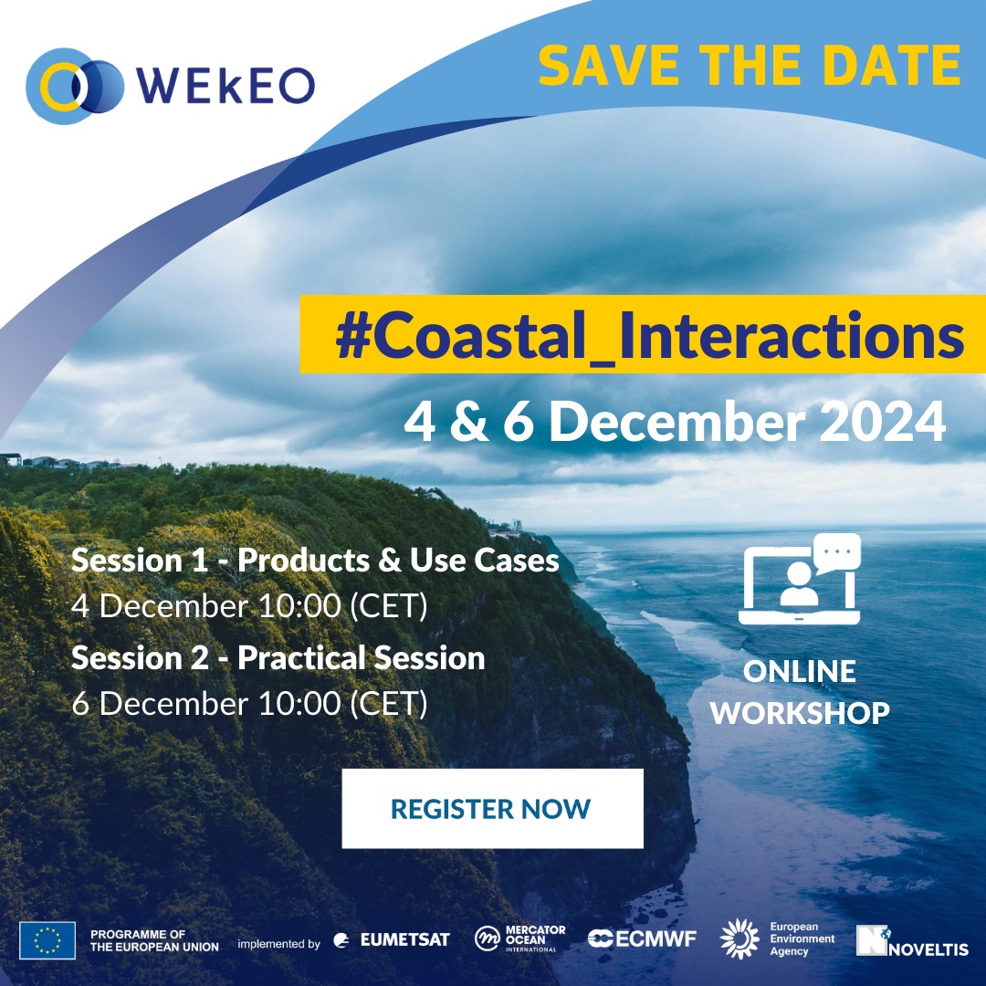
Find out more about WEkEO’s role in the monitoring and protection of our coasts at the WEkEO 4 Coastal Interactions workshop.
When: 4 – 6 December
Where: Online
Join us and explore how AI and Copernicus data are transforming flood risk management and coastal protection